Master Grade 12 Spatial Technologies (CGO4M) | Myls Tutoring
Master Grade 12 CGO4M: Spatial Technologies in Action with Myls Tutoring! Learn GIS, remote sensing, and data mapping through expert support and hands-on practice. Boost your confidence and skills. Book a trial lesson today!

The Ontario's Grade 12 Spatial Technologies in Action (CGO4M) Course Overview
The Ontario's Grade 12 Spatial Technologies in Action (CGO4M) course introduces students to the powerful tools of Geographic Information Systems (GIS), remote sensing, and digital mapping. Learners explore how these spatial technologies are applied in real-world contexts, from managing environmental challenges to designing urban infrastructure.
Through hands-on projects, mapping exercises, and case study investigations, students develop technical, analytical, and critical thinking skills that are essential for emerging careers in geography, urban planning, environmental science, and geospatial technology. The course also strengthens digital literacy and problem-solving abilities in today’s data-driven world.
Why Study Spatial Technologies in Action (CGO4M)?
In a world shaped by location-based decisions, understanding spatial technologies is essential. The Ontario's Grade 12 Spatial Technologies in Action (CGO4M) course gives students the ability to collect, analyze, and visualize geographic data—skills used in fields such as climate science, logistics, emergency response, and business planning.
Students interested in technology, environmental studies, public policy, and urban design will benefit from learning how spatial tools are used to solve complex problems. The course builds:
- Digital mapping and GIS skills – foundational for analyzing geographic relationships and trends.
- Analytical thinking – interpreting geospatial data to draw conclusions and inform decisions.
- Research and technical communication skills – using maps and visuals to present data-driven insights.
- Problem-solving abilities – applying technology to tackle social, environmental, and economic challenges.
This CGO4M course also offers a glimpse into growing career fields like geospatial analysis, smart city development, and environmental monitoring.
Grade 12 Spatial Technologies in Action (CGO4M) Course Structure
Students explore key topics and tools through the following units:
- Introduction to GIS – Learn the basics of Geographic Information Systems, including data layers, spatial queries, and visualization.
- Remote Sensing & Data Collection – Explore technologies like satellite imagery, drones, and field tools for collecting spatial data.
- Digital Cartography – Create maps that are both accurate and visually meaningful using GIS software.
- Spatial Analysis for Decision-Making – Use geographic data to analyze and propose solutions to real-world issues.
- Applications in Environmental Science – Investigate land use, resource management, and climate-related spatial data.
- Urban Planning and Infrastructure – Assess transportation networks, population growth, and zoning using GIS tools.
- Spatial Technologies in Business – Explore how businesses use location data for logistics, marketing, and planning.
This structure allows students to develop both technical skills and real-world insight into how spatial technologies are shaping our future.
Grade 12 Spatial Technologies in Action (CGO4M) Skills and Learning Outcomes
By the end of the course, students will be able to:
- Operate GIS software and mapping tools with confidence.
- Analyze and interpret spatial datasets and satellite imagery.
- Create effective digital maps that communicate geographic insights.
- Apply spatial analysis to address environmental, social, and economic issues.
- Understand the career paths and industries that use spatial technologies.
These transferable skills prepare students for post-secondary programs and modern careers that require geographic awareness and digital proficiency.
Prerequisites for Grade 12 Spatial Technologies in Action (CGO4M)
There are no mandatory prerequisites, but students with interests in geography, environmental science, computer applications, or urban planning will find the course especially engaging.
Success in this course is supported by:
- A curiosity about how data and technology can solve realistic problems.
- Comfort with computers and digital tools.
- A willingness to explore new technologies and analytical methods.
Grade 12 Spatial Technologies in Action (CGO4M) Assessment Structure
Student understanding is evaluated through practical, research-based, and analytical assessments, including:
- GIS Projects – Build digital maps and analyze spatial relationships using real datasets.
- Remote Sensing Exercises – Interpret satellite images and drone-captured data.
- Case Study Research – Explore how spatial tools solve problems in planning, conservation, or disaster response.
- Reports and Presentations – Communicate findings through written reports and digital visuals.
- Unit Assignments and Quizzes – Reinforce content and technical understanding.
- Final Project – Apply everything learned to investigate and present a solution to a geographic issue of choice.
To succeed, students should remain engaged in class activities, practice using digital tools, and apply spatial thinking across tasks.
Tips for Success in Spatial Technologies in Action
- Get comfortable with GIS software – Practice using different layers, tools, and functions.
- Think spatially – Learn to ask questions about location, patterns, and relationships in data.
- Apply technology to real-life problems – Connect projects to issues like climate change or urban growth.
- Stay organized with data and files – Keep track of sources, shapefiles, and mapping projects.
- Explore emerging tech – Stay curious about innovations like drone mapping, GPS, and mobile GIS.
These habits will help students excel in the course and prepare for future success in geospatial careers.
How Myls Tutoring Can Help You Succeed in CGO4M
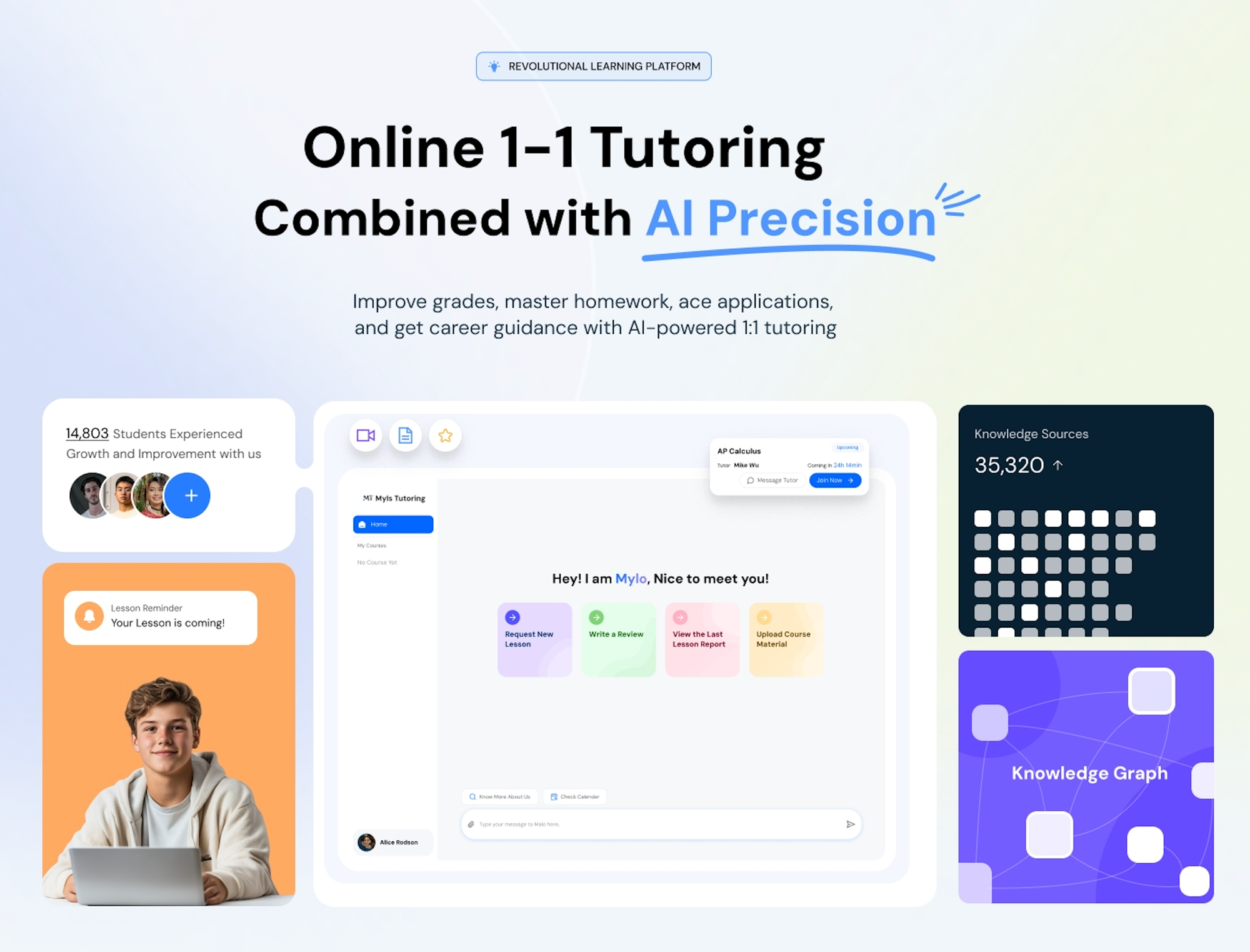
Mastering spatial technologies requires both technical skills and conceptual understanding—Myls Tutoring provides both. Our expert tutors support students in learning the core tools of GIS and remote sensing while also helping them think critically about how to apply these technologies to real-world challenges.
✔️ Personalized Study Plans – Myls Online Tutoring Platform creates custom learning paths that target your strengths and challenges. Online Tutors adjust lessons to focus on GIS skills, project development, or data interpretation as needed.
✔️ Expert Tutor Matching – Find a tutor online who specialize in geography, spatial technologies, and digital mapping. Get help understanding software tools, layers, and how to turn raw data into meaningful visuals.
✔️ Project and Software Support – Whether you’re building a GIS project or preparing a report, our tutors guide you through the process step by step—from data collection to map creation to presentation.
✔️ Analytical Skill Building – Learn how to read spatial patterns, interpret satellite imagery, and make data-driven decisions.
✔️ Flexible, On-Demand Help – Need support before a deadline or help troubleshooting your map? Our online tutors are available when you need them, with convenient scheduling options.
With Myls Tutoring, students gain the confidence, skills, and support needed to thrive in CGO4M and beyond—whether in post-secondary studies or emerging tech-driven careers.
📍 Ready to Master Spatial Technologies in Action?
Take your understanding of GIS, mapping, and data analysis to the next level with Myls Tutoring! Our expert online tutors and AI-driven Tutoring Platform support will help you succeed in every aspect of the course, from software to spatial storytelling.
🛰️ Book your FREE trial lesson today and get started on mastering CGO4M!
🔎 Explore more subjects on Myls Tutoring and discover personalized support to power your academic success! 🌍💻


